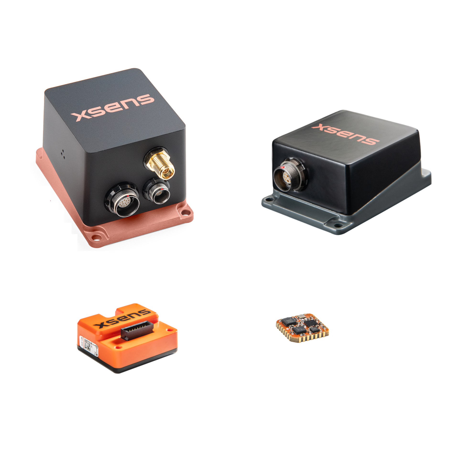
The MTi-3 inertial measurement unit is a self-contained attitude and heading reference system (AHRS) that delivers true-north-referenced yaw, or heading.
As part of the MTi 1-series, it is among the smallest of its kind available, with each module measuring only 12.1 × 12.1 mm and weighing <1 g.
The MTi-680G represents the highest standard in GNSS/INS (Global Navigation Satellite System/inertial navigation system) with an internal, integrated real-time kinematic receiver (RTK). With the MTi-680G’s RTK feature, you can improve your positional data from meter-level to centimeter-level accuracy. MTi-680G is part of the MTi 600-series and allows seamless integration with your application, with native CAN support.
When it comes to the highest standard in attitude and heading reference systems (AHRS), the MTi-630 is a cut above. Its sensors and sensor fusion algorithm deliver data on drift-free roll, pitch, and true-north-referenced yaw.
The MTi-630 is part of the MTi 600-series and allows seamless integration with your application, with native CAN support.
Combining orientation estimates with velocity and sub-meter position data from an external GNSS receiver, the MTi-670 inertial measurement unit meets the highest standard in GNSS/INS (Global Navigation Satellite System/inertial navigation system). The MTi-670 is part of the MTi 600-series and allows seamless integration with your application, with native CAN support.
The MTi-630R's sensors and sensor fusion algorithm deliver data on drift-free roll, pitch, and true-north-referenced yaw. The MTi-630R is part of the MTi 600-series and allows seamless integration with your application. It is an all-in-one navigation solution, lightweight and robust. It is also highly flexible, with native CAN support.
The Xsens Sirius AHRS is our highest-performing attitude and heading reference system. Its sensors and sensor fusion algorithm deliver data on drift-free roll, pitch, and true-north-referenced yaw. The Xsens Sirius AHRS is ruggedly built, with a protective, anodized, IP68 MIL-standard waterproof aluminum housing, waterproof connectors, and special studs for easy mounting and aligning.
Please note that the Xsens Sirius AHRS with RS422 and CAN is not available on this web shop. To order the RS422 and CAN version, please contact us at [email protected]
The Xsens Avior AHRS is our highest-performing attitude and heading reference system with an OEM form factor. Its sensor fusion algorithm delivers data on drift-free roll, pitch, and true-north-referenced yaw.
Broad system compatibility via UART, with flexible protocol support including RS232, RS422, CAN, and more - all configurable through firmware. OEM form factor for compact or embedded systems.
The MTi-8 is the smallest real-time kinematic (RTK)-enhanced motion tracking module of its kind (12.1 × 12.1 mm). The MTi-8 relieves you of the task of designing, integrating, and maintaining gyroscopes, accelerometers, and other sensors for GNSS/INS functionality.
The MTi-670G combines orientation data with position data supplied by an internal GNSS receiver. The MTi-670G is part of the MTi 600-series. It is an all-in-one navigation solution, lightweight and robust. It is also highly flexible, with native CAN support.
The MTi-680 represents the highest standard in GNSS/INS (Global Navigation Satellite Systems/inertial navigation systems) when connected to an external real-time kinematic (RTK) GNSS receiver.
The MTi-680 is part of the MTi 600-series and allows seamless integration with your application, with native CAN support.
The Xsens Sirius GNSS/INS is our highest-performing GNSS-aided inertial navigation system. Designed for accurate positioning and orientation in demanding environments. It delivers reliable position, velocity, heading, roll, and pitch data, even in challenging GNSS conditions.
The Rugged Development Kit enables fast evaluation and integration, featuring IP68 housing, waterproof connectors, RS232/CAN(-FD) connectivity, and access to the Xsens software suite and SDK.Please note that the Xsens Sirius GNSS/INS with RS422 and CAN is not available on this web shop. To order the RS422 and CAN version, please contact us at [email protected].
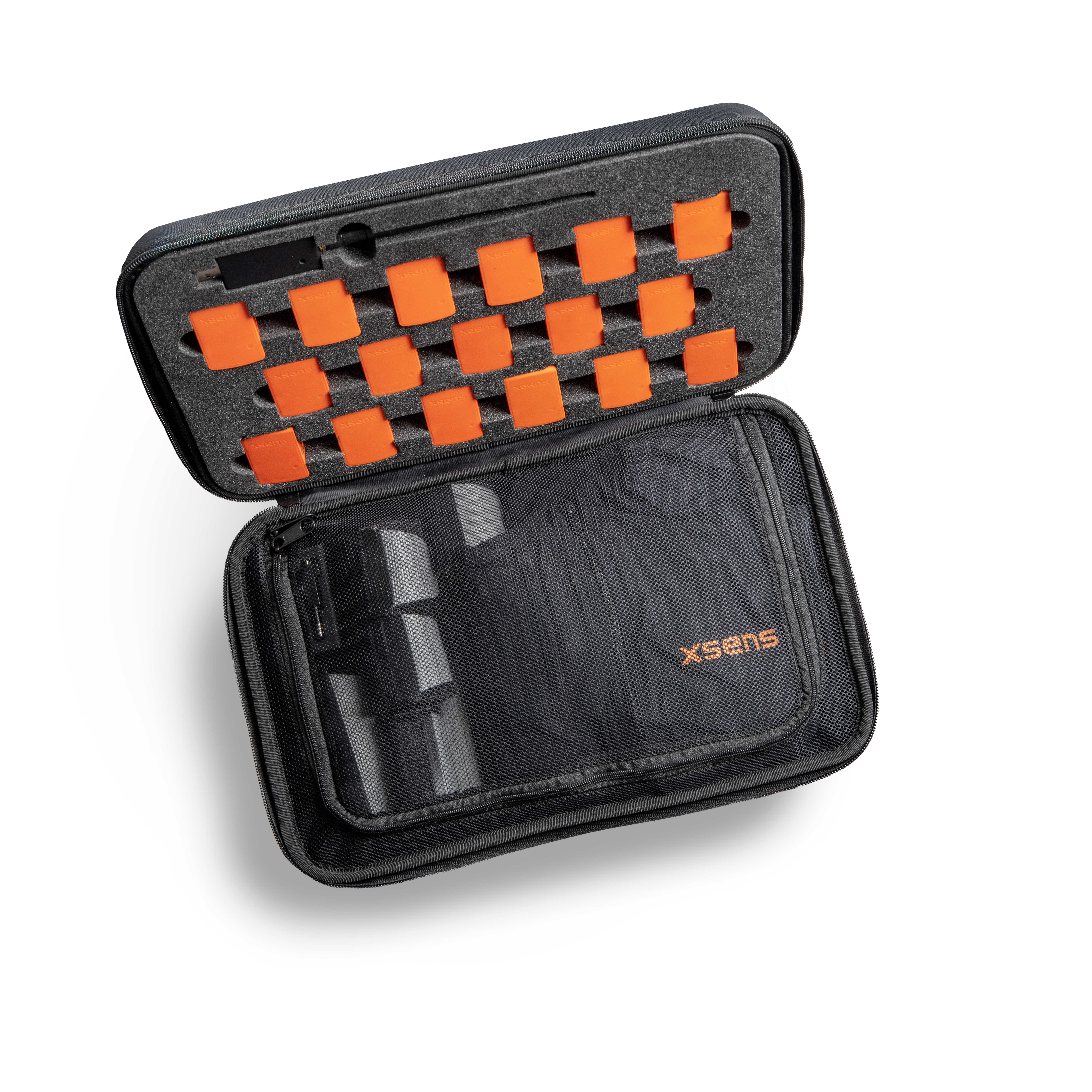
Expand or upgrade your curriculum with three test kits at once. Xsens wants to power future engineers by offering universities, and other educational institutes this box as an educational bundle. Combined with in-depth online resources, your students can get practical experience quickly.
The MTi-680 Septentrio DK features the MTi-680 and the Mosaic-X5 RTK GNSS module from Septentrio.From defense systems to autonomous machines and mobile robotics, the MTi-680 Septentrio DK powered with the Mosaic-X5 RTK GNSS module helps engineers evaluate interference-resilient navigation with minimal integration effort. The Septentrio Mosaic X5 brings you outstanding performance and accuracy thanks to:Multi GNSS constellation Multi frequency bandBuilt-in AIM+ technology for anti jamming and anti spoofing
The Xsens Sirius RTK GNSS/INS is our highest-performing GNSS-aided inertial navigation system, delivering centimeter-level positioning and precise orientation in demanding environments. It provides reliable position, velocity, heading, roll, and pitch data, even in challenging GNSS conditions.The Rugged Development Kit enables fast evaluation and integration, featuring IP68 housing, waterproof connectors, RS232/CAN(-FD) connectivity, and access to the Xsens software suite and SDK.Please note that the Xsens Sirius RTK GNSS/INS with RS422 and CAN is not available on this web shop. To order the RS422 and CAN version, please contact us at [email protected].
Self-contained with advanced sensor fusion algorithms, the MTi-7 is a GNSS/INS (Global Navigation Satellite System/inertial navigation system) and can synchronize the inputs from its on-board accelerometer, gyroscope, and magnetometer with the data from an external GNSS receiver.
As part of the MTi 1-series, it is among the smallest of its kind available, with each module measuring only 12.1 × 12.1 mm and weighing <1 g.